In an emergency, call 911. Follow evacuation orders from local officials immediately. This page links to official sources; it is not an emergency service.
Weather & fire-weather alerts
High Wind Warning
High Wind Warning issued October 17 at 4:13AM PDT until October 17 at 12:00PM PDT by NWS San Diego CA. NWS forecast
Until Oct 17, 2026, 12:00 PM PT · Santa Ana Mountains and FoothillsIs the highway open?
- Caltrans SR-74 road statusOfficial closures and restrictions for Highway 74.
- Caltrans QuickMapLive closure map with incidents and cameras.
- CHP incident logLive incidents from the Orange County and Inland centers.
Active fires
- CAL FIRE incidentsStatewide map and list of active wildfires.
- Orange County Fire AuthorityFires and alerts on the Orange County side, including San Juan Capistrano.
- Riverside County Fire Department / CAL FIREFires and alerts on the Riverside County side, including Lake Elsinore.
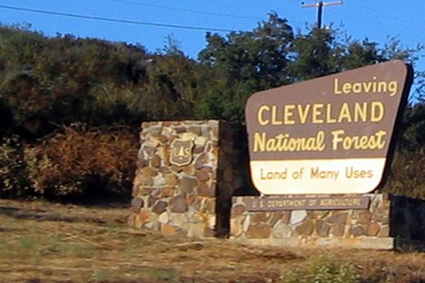
- Cleveland National Forest alertsForest closures, fire restrictions and trail closures.
- Airport Fire burned-area closureForest Service closure order for parts of the Trabuco Ranger District.
Fire season on the Ortega
The National Weather Service issues a Fire Weather Watch when critical fire weather is possible but not imminent, and a Red Flag Warning when critical fire weather conditions are occurring or expected shortly. On Red Flag days, be extremely careful with anything that can spark, and expect a fire to spread fast (NWS).
Current Forest Service restrictions
Forest Order 02-26-10 is in effect in the Cleveland National Forest from June 12 through December 31, 2026 (Elevated Fire Use Restrictions). It prohibits:
- Fires, campfires and charcoal fires except in listed developed recreation sites (on the Trabuco Ranger District these include El Cariso, Upper San Juan, Blue Jay, Falcon and Wildomar campgrounds and the El Cariso picnic areas).
- Smoking, except in an enclosed vehicle or building or in a listed developed recreation site.
- Welding or using a torch with an open flame.
- Discharging a firearm, air rifle or gas gun (licensed hunters in season are exempt).
Separately, the Airport Fire burned-area closure keeps parts of the Trabuco Ranger District closed through May 26, 2027. Road, gate and trail status is on the Forest Service Current Conditions page.
Evacuations & alerts
- Genasys ProtectLook up your evacuation zone and see current evacuation orders and warnings.
- ReadyOC / AlertOCOrange County emergency information and alert sign-up.
- Riverside County Emergency ManagementRiverside County emergency information and alert sign-up.
- Red Cross: find an open shelterEvacuation shelters near you.
- AirNowSmoke and air-quality readings.
- Ready.gov wildfire preparednessHow to prepare a go-bag and evacuation plan.
Latest fire & closure news
See the News page for the latest headlines, and Construction & closures for planned Caltrans closures.
Seen a closure, crash or something new along the highway? Send us a tip or photo. For emergencies, call 911.